The world could soon be looking at maps differently after the United Nations General Assembly endorsed a new map projection designed to show the size of continents more accurately.
The resolution was passed on Friday, September 4, 2026, with 164 countries voting in favour. The United States voted against, while Serbia, Estonia, Georgia, Lithuania, Moldova and Ukraine abstained.
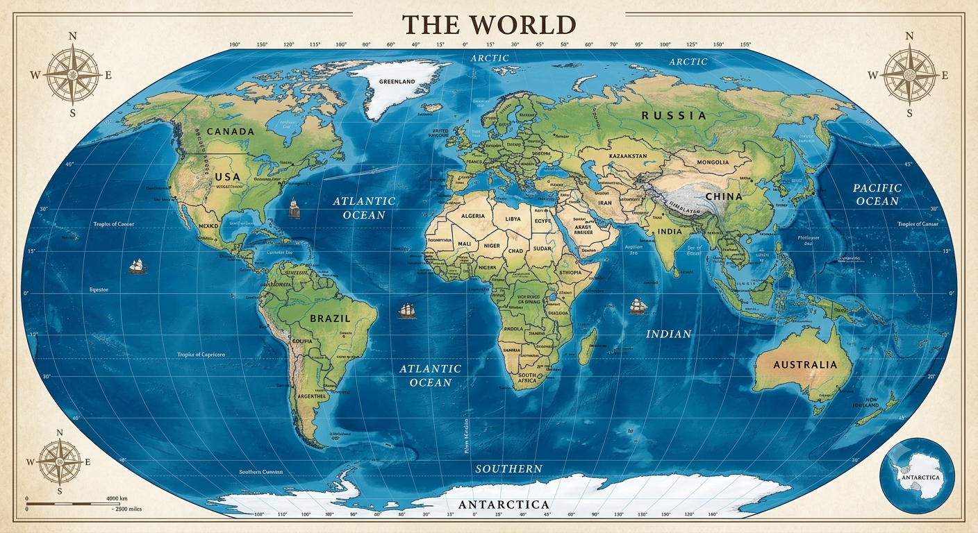
The new map, known as the Equal Earth projection, gives a more realistic picture of the size of Africa compared with other continents.
For many years, the Mercator projection, created by Flemish cartographer Gerardus Mercator in 1569, has been one of the most commonly used world maps. While it was originally designed mainly to help sailors navigate, it has also become widely used in schools, books and digital platforms.
However, the Mercator map makes areas closer to the North and South Poles appear much larger than they really are.
One of the clearest examples is the comparison between Africa and Greenland. On the Mercator map, Greenland can appear close to the size of Africa, even though Africa is actually about 14 times larger.
The Equal Earth projection was created in 2018 to address this problem. It keeps the relative areas of continents much closer to their actual proportions, although this means some shapes are slightly distorted.
The debate is not simply about replacing one picture with another. Supporters of the resolution argue that maps can influence how people understand geography and the world around them.
Before the vote, Togo’s Foreign Minister Robert Dussey said, “Maps shape our understanding of the world.”
He noted that maps influence education and people’s perceptions of different parts of the world.
French Foreign Minister Jean-Noël Barrot also supported the idea, arguing that correcting a distorted representation can help present the world more truthfully.
The resolution encourages schools, governments, international organisations and technology companies to consider using the Equal Earth projection and other equal-area maps.
The United States was the only country to vote against the resolution. The American representative criticised the move, saying, “This resolution mocks the work and purpose of this institution.”
Despite the vote, the resolution is not legally binding. It does not force countries, schools or technology companies to stop using the Mercator projection. Instead, it serves as an encouragement for wider use of maps that represent the relative size of land areas more accurately.
The move could nevertheless influence how geography is taught in schools and how maps are presented in educational materials and digital technology.
After nearly five centuries of the Mercator projection dominating the way people view the world, the UN’s decision could mark a shift towards a map that gives Africa and other continents a fairer representation of their actual size.